- Home
- About Us
- Tel : +91 33 4022 9591
VientianeView all the popular packagesOffers
1 Popular Packege(s)
Area 3920 Square Kilometers
Population 210000 Million
Winter Temperature 22 C
Summer Temperature 29 C
Best Time To Visit The dry season in Laos runs from October to April, and the wet season from May until September, with heavy rainfall particularly between July & September. The hottest months of the year are generally March, April, May & June when temperatures hit the mid-30c
BY AIR
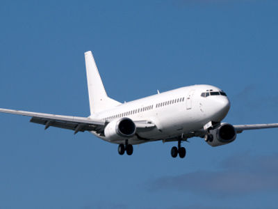
Vientiane's Wattay Airport is 4 km west of the city. International services are quite limited
BY TRAIN
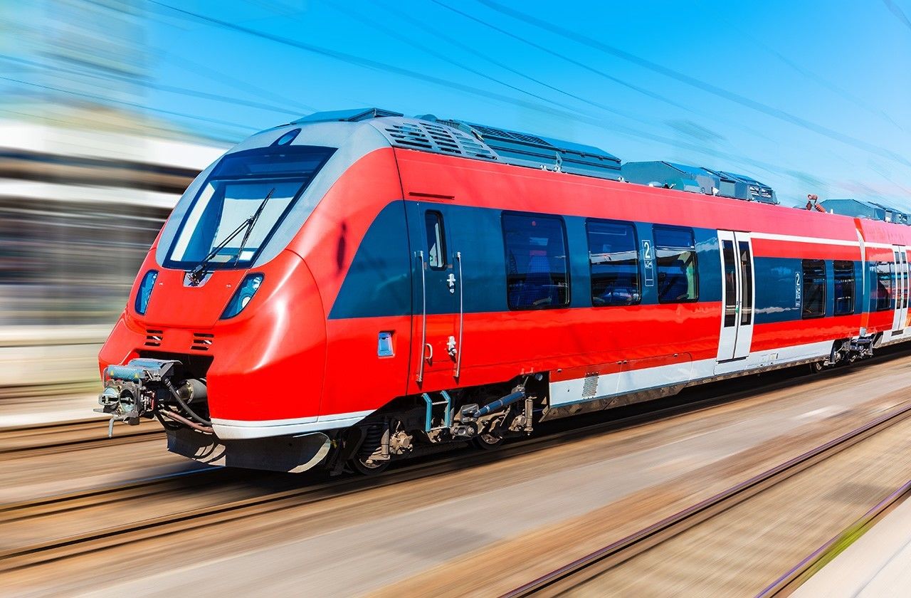
The railway link across the Mekong finally opened in March 2009, and there are now four shuttle services daily from Nong Khai to Tha Naleng, some 13 km away from Vientiane and reachable by shuttle bus from the Morning Market. The shuttle trains are timed to connect with overnight trains to and from Bangkok, with around 90 minutes buffer time at the Thai side of the border for buying tickets and Immigration.
BY BUS
The Thai-Lao Friendship Bridge (Saphan Mittaphap) from Nong Khai, Thailand is the most common means of entry. The bridge cannot be crossed on foot or by bicycle (theoretically; however people have been seen strolling the bridge), but there are frequent 20 baht shuttle buses just past Thai immigration. The price changes depending on the time of day and day of week. You will get a receipt. Bicycles can be carried on buses in the cargo compartment. If you don't already have a Laos visa in your passport, the bus will not wait for you at the Laos immigration point. You will have to take the local green bus 14 near the immigration gates or a tuk tuk
That Luang
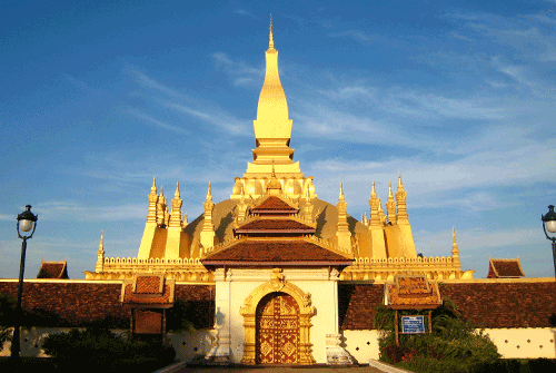
That Luang is a gold-covered large Buddhist stupa in the centre of Vientiane, Laos. Since its initial establishment, suggested to be in the 3rd century, the stupa has undergone several reconstructions as recently as the 1930s due to foreign invasions of the area. It is generally regarded as the most important national monument in Laos and a national symbol
Bolaven Plateau
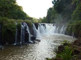
The Bolaven Plateau is an elevated region in southern Laos. Most of the plateau is located within Champasak Province of Laos, though the edges of the plateau are also located in Sekong and Attapeu Provinces. It is located between the Annamite Mountain Range, along which runs Laosâ eastern border with Vietnam, and the Mekong River to the west, at about 15°N 106°ECoordinates: 15°N 106°E. The plateau's elevation ranges approximately from 1,000 to 1,350 metres (3,280 to 4,430 ft) above sea leve
Haw Phra Kaew
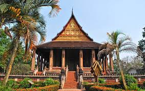
Haw Phra Kaew, also written as Ho Prakeo, Hor Pha Keo and other similar spellings, is a former temple in Vientiane, Laos. It is situated on Setthathirath Road, to the southeast of Wat Si Saket.
Vientiane Center Lao
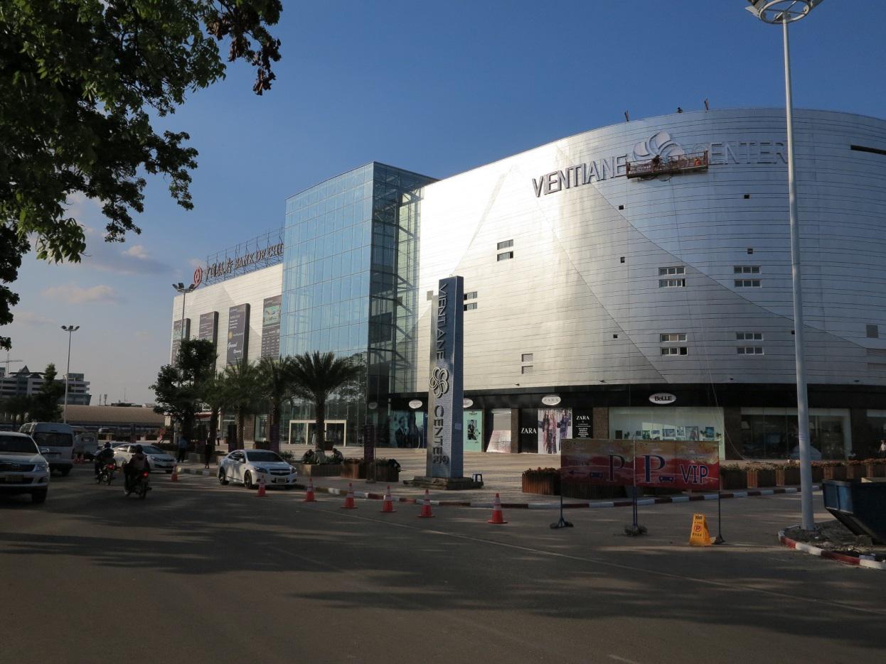
Address: Khouvieng Road, Vientiane, Laos
Talat Sao Shopping Mall
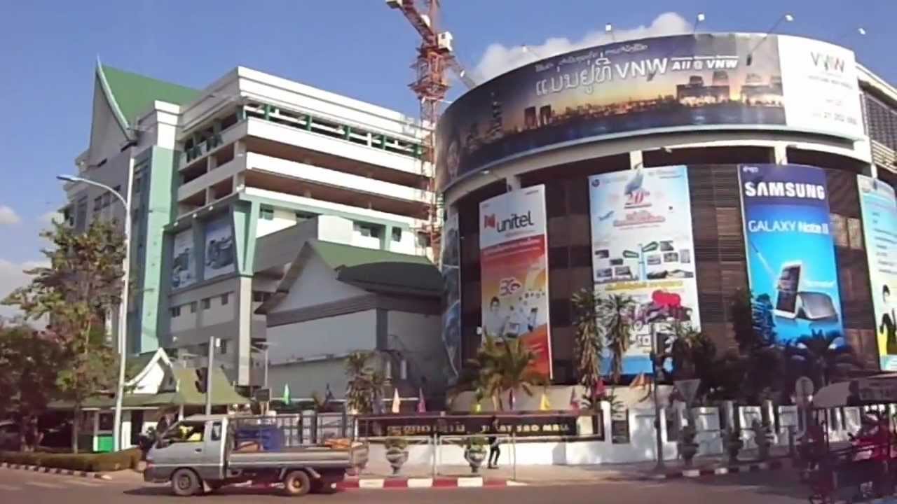
Address: Ave Lane Xang, Vientiane, Laos
Khop Chai Deu
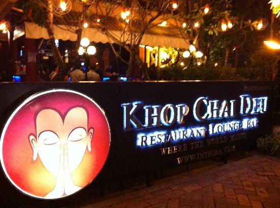
Laotian Restaurant
Address: Rue Setthathilath, Vientiane, Laos
L'Elephant Restaurant
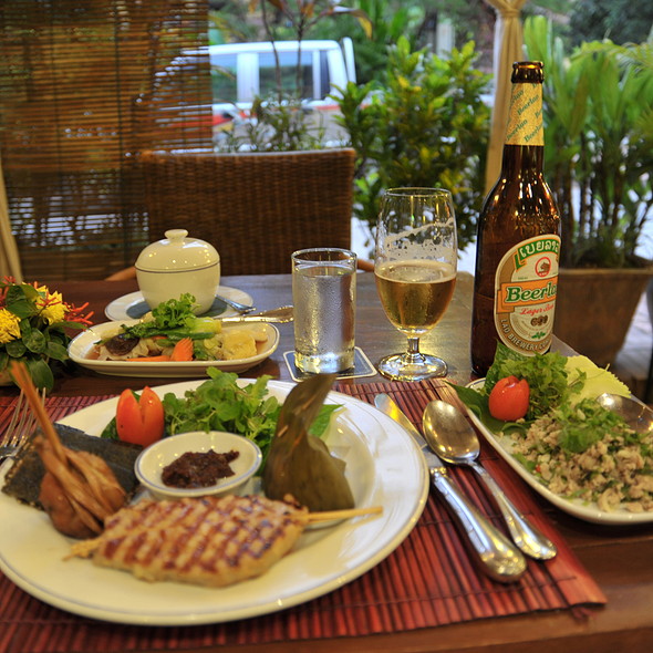
Address: Luang Prabang, Laos

